
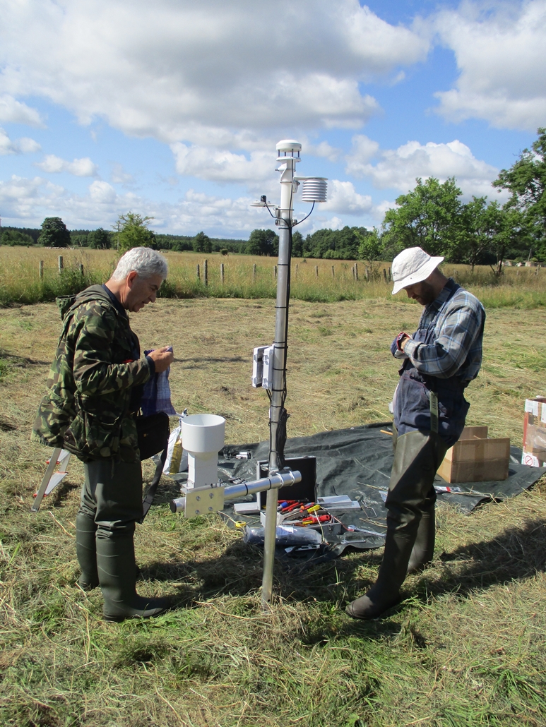
As part of the monitoring of effects of the project activities, the Polish team – Naturalists’ Club – installed recorders of water level measurements on 3 peat bogs. Altogether they were installed at 83 points. Measurements of water level are supplemented by measurements from a local meteorological station – also purchased and installed as part of a measure to monitor effects.
The need to monitor changes in the hydrology of project implementation areas is a direct result of the goals we have set ourselves in the project. Forecasts of vegetation and water conditions changes will require verification in light of actual changes. In the Polish part of the project, we monitor the variability of water levels in 3 peat bogs, which, although in different conservation status, are closely related in terms of hydrology. The water level monitoring system therefore assumes the possibility of identifying water conditions in the entire peat bog irrespective of its conservation status, assessing the hydraulic linkage and determining the peat retention status, determining the influence of the existing drainage ditch network on drainage of the central part of the peat bog and finally checking the effectiveness of the activities within the project.
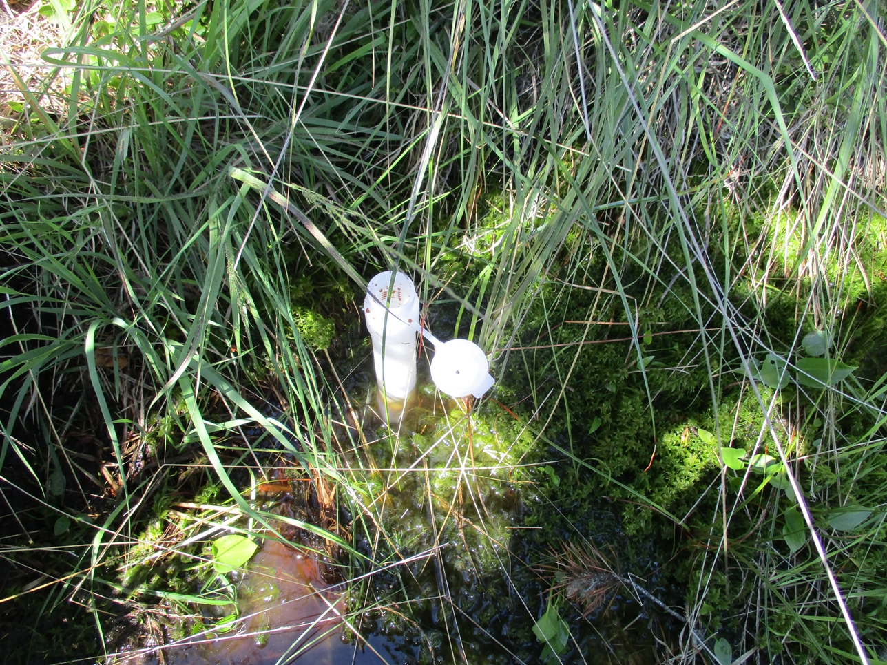
The location of the recorders was designed in such a way that each of the peat bogs received a longitudinal and transverse cross-section of the groundwater table.
Water quality measurements, botanical monitoring and local weather conditions (sunlight, humidity, wind, precipitation) are also provided as a supplement to water level monitoring. This system will also allow to determine the routes of water supply, spatial and temporal variation of chemical composition of water present in peat bogs, establishing basic water quality indicators and correlating the state of communities with chemical composition of water and correlating chemical composition of water of peat bog with water circulation in peatland and fluctuations in water level.