Meet the project that revitalised 5,300 ha of degraded peatlands
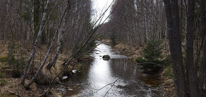
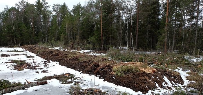
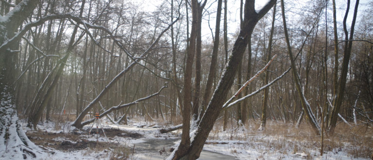
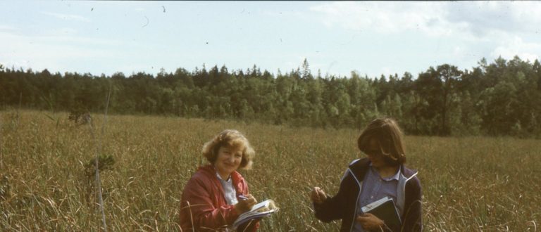
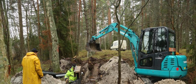
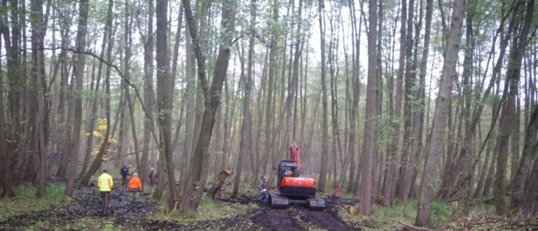
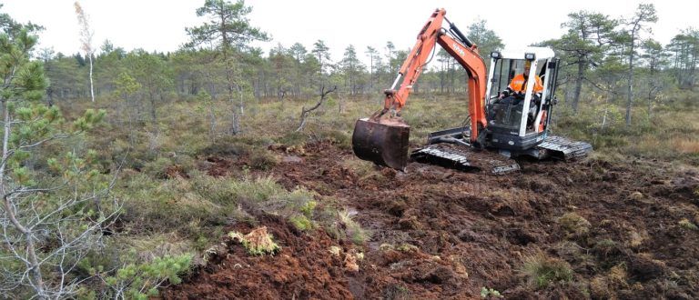
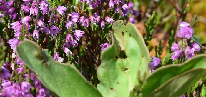
Explore LIFE Peat Restore’s key outputs here The LIFE Peat Restore (LPR) team, composed of 9 partners across 5 countries (Germany, Poland, Lithuania, Latvia, and Estonia), have successfully concluded their goals. The most relevant aim of all has been achieved, and that is none other, than the restoration of over 5,300 hectares of degraded peatlands. … read more