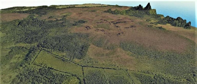
For developing a better methodology of indirect greenhouse gas (GHG) emission assessment in peatlands in Latvia, a new project was implemented by the Institute for Environmental Solutions (IES) in cooperation with Nature Conservation Agency of Latvia. The project was financed by the Latvian Environmental Protection Fund. The project “Remote sensing methodology for monitoring greenhouse gas emissions in wetlands” (No. 1-08/146/2018) is aimed at using detailed remote sensing data and GEST methodology in assessment of GHG emissions. Project results were presented at the seminar “Methods for measuring greenhouse gases in peatland and other ecosystems” organized by IES on August 8, 2019, in Cēsis, Latvia. In the seminar, Māra Pakalne (University of Latvia) introduced the aims and importance of the LIFE Peat Restore project which contribute to improving the knowledge of direct and indirect GHG emission assessments in Latvia. LIFE Peat Restore expert Līga Strazdiņa (University of Latvia) explained the principles of GEST methodology, its pros and cons in situations in Latvia which differ from Germany in climate and vegetation aspects whereby studies of new GEST types are necessary. Both presentations are available here (1, 2), more detailed information about the seminar is available here.
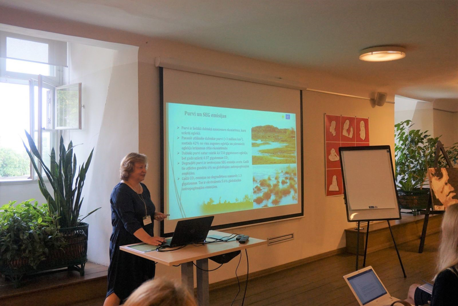
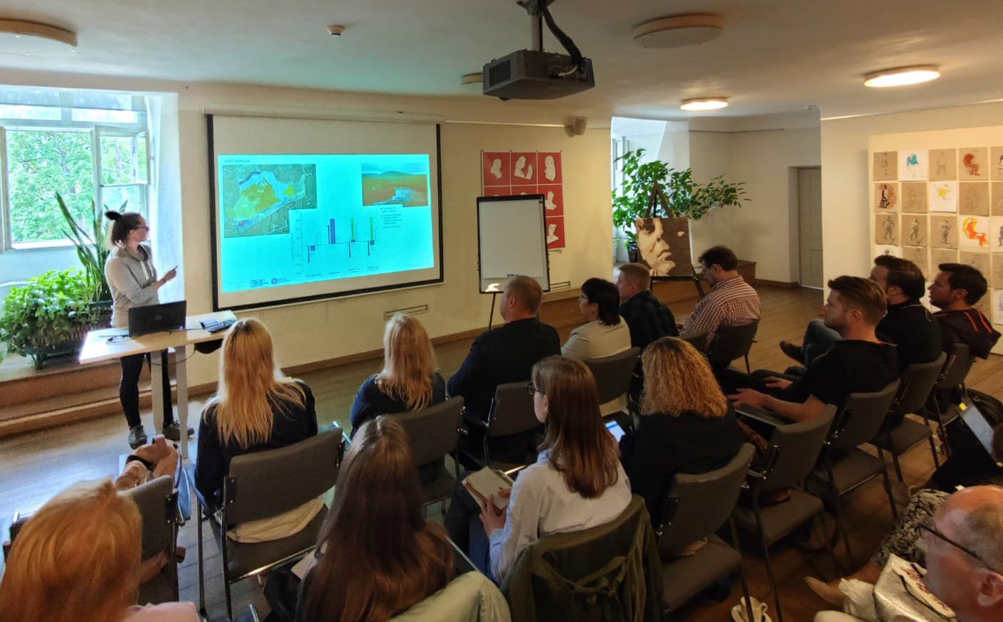
The objectives of the project were to estimate the GHG emissions in five pilot sites using remote sensing data. The study areas included alkaline fens in Lake Engure Nature Park, Madiešēnu and Namītēnu Mire in Augstroze Nature Reserve (all are also LIFE Peat Restore project sites), as well as Pēterezera and Kukšupe inter-dune mires in Slītere National Park and Sudas-Zviedru Mire in Gauja National Park, where peatland restoration was performed within the LIFE Wetlands project.
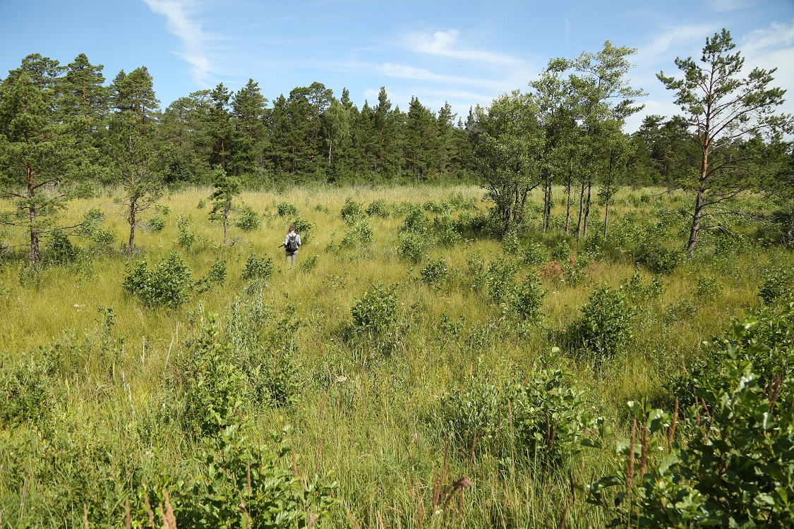
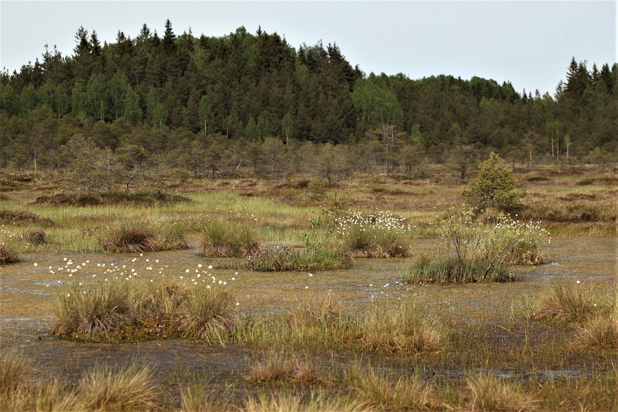
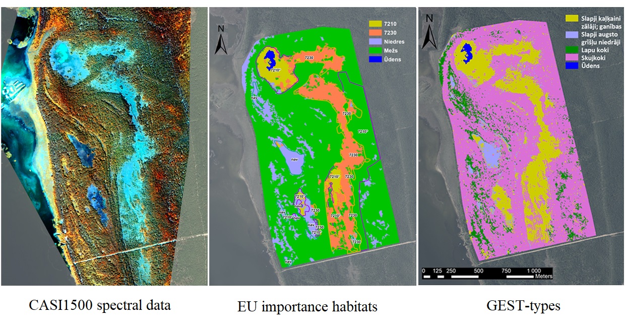
Remote sensing data of the project areas was collected in June 2018, using airborne surveillance and environmental monitoring system (ARSENAL) that includes aircraft equipped with hyperspectral data sensor and LIDAR. During summer period, field data of GEST vegetation classes as a reference data for further remote sensing data analysis were collected. For all classified vegetation units corresponding GEST types were found.
At the result of GEST mapping, ten GEST-types were classified. The most common in all project sites are Wet tall sedges reeds and Wet peat moss hollows resp. flooded peat moss lawn, which represent fen and transition mire vegetation. The largest area was taken by Wet peat moss lawn that dominates in raised bog ecosystems.
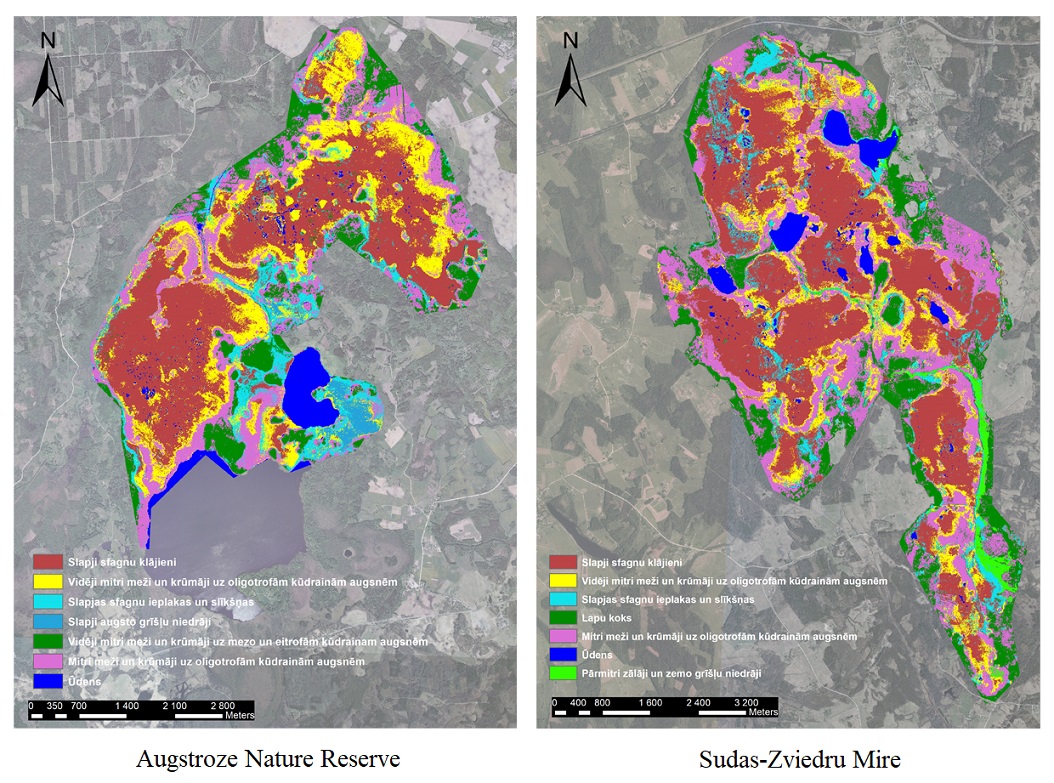
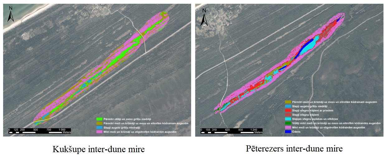
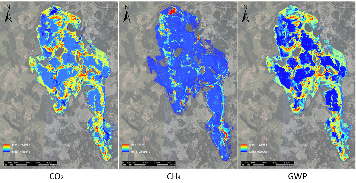
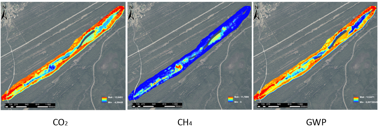
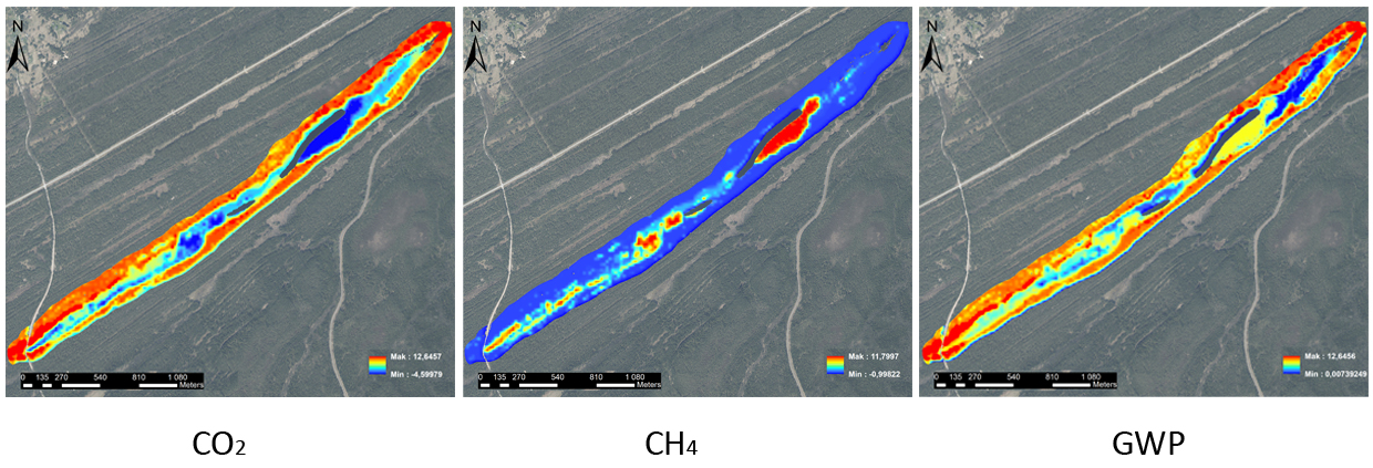
For each project site, maps showing CO2, CH4 emission and global warming potential (GWP) were prepared. Different scenarios were modelled to measure the significance of planned or implemented peatland restoration actions in terms of GHG emissions. It was calculated that positive effect can be expected in all sites, for example, in degraded area of Madiešēnu Mire (Augstroze Nature Reserve) change of GEST-type and CO2 emission decrease for 56% were predicted within 50 years. Similar amount (CO2 emission decrease for 53%) was measured in Sudas-Zviedru Mire, while it was even higher (for 91%) in Pēterezera inter-dune mire after tree removal.
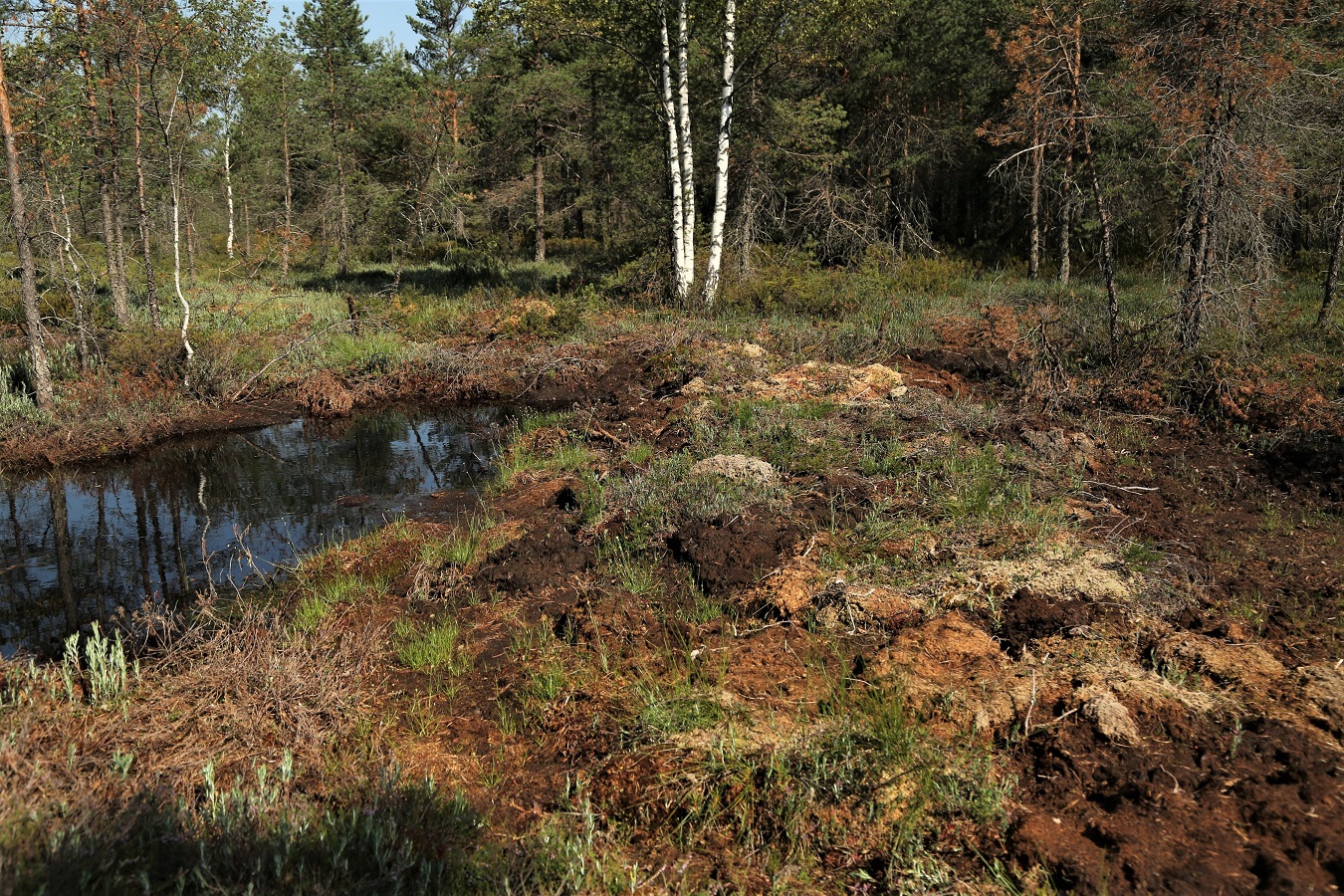
The collaboration between LIFE Peat Restore and VRI within this project has significantly contributed to further development and approbation of GEST approach and its application in peatlands. The project results have improved the methodology and also served as a platform for potential broader application of GEST approach in Latvia and the surrounding region.

