Restoration of damaged mire habitats is one of the most important objectives of the LIFE Peat Restore project. With such an objective, several preparatory actions must be carried out before implementing active nature management; chief among them is the preparation and approval of technical and management plans. Currently, almost all nature management and technical plans for the Lithuanian sites are prepared and approved.
The next step is to set up the monitoring of impacts from the restoration actions. Last year, the Lithuanian Fund for Nature team already installed the hydrological monitoring system, prepared the vegetation mapping schemes and collected peat samples for chemical analyses. This summer, our team has continued with the remaining preparatory actions.
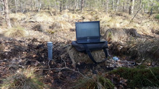
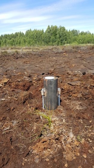
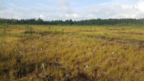
In order to properly monitor the results of nature management, this year we have equipped the research plots where changes of vegetation cover and GHG fluxes will be observed. For the vegetation monitoring, 5 research plots (100m2) were equipped in each Lithuanian site. On the other hand, for GHG measurements, only one most representative plot in each site was chosen. In aims of achieving very precise measurements, additional data will be collected, such as water level, soil temperature, etc.
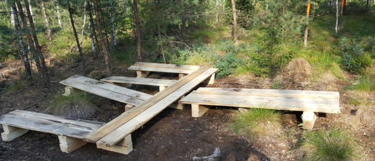
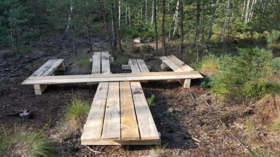
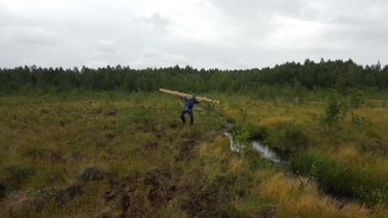
Human activities may have an effect on the accuracy of the measurements, like trampling. Therefore, the project team has equipped special wooden platforms, which will prevent the research area from such disturbances. This turned out to be a difficult task, keeping in mind that all sites are very remote and hard to access.
Similar preparatory activities, such as the ones previously described, are also being conducted in the other project countries: Latvia, Estonia, Poland and Germany. The results obtained will allow us to observe scientifically mire habitat changes, in addition to assessing how sustainable management and restoration of damaged peatlands contributes to the mitigation of climate change, by the recovery of their original functions as carbon sinks.
With these results, we hope to raise the public and the policy makers’ awareness to the great climate mitigating potential of peatland restoration and protection.

